Posts Tagged ‘Multimedia’
First-place in Features-driven Multimedia Storytelling for MDDC Press Association Contest
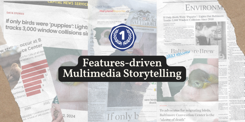
‘If only birds were puppies’ wins first place in Features-driven Multimedia Storytelling for the 2024 MDDC Press Association Contest.
Read moreResearcher’s expertise shines through in Wix website redesign
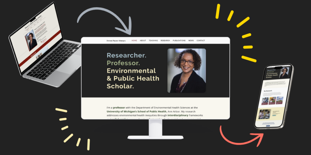
I had a lot of fun working with Dr. Devon Payne-Sturges to redesign her professional Wix website. The updates reflect her expertise as a researcher, professor, and environmental & public health scholar.
Read moreSocial Media – News
Check out some examples of social media graphics & videos I have produced to help disseminate news articles.
Read morePoster design and data visualizations at the 2024 American Public Health Association’s annual meeting
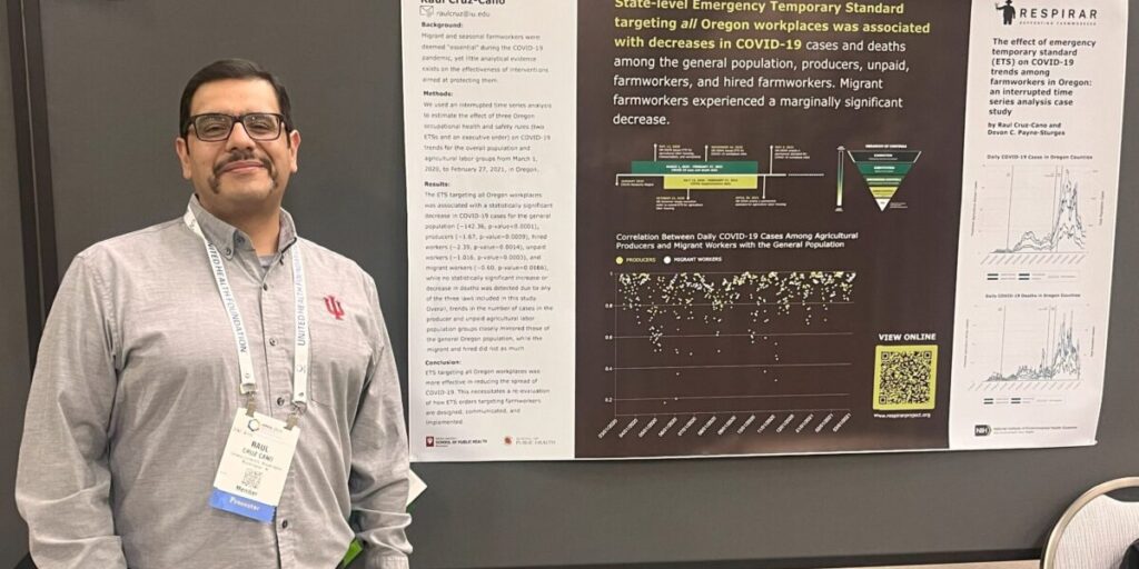
This was my first time designing a scientific poster. View before & after data visualizations and graphics.
Read moreMapping Maryland’s Eastern Shore for the RESPIRAR Project
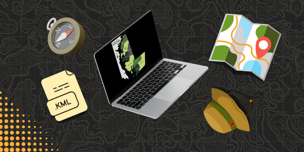
As part of the RESPIRAR Project, I design maps tailored for web use and conference presentations, employing tools like QGIS, Datawrapper, Flourish and Illustrator.
Read moreBehind the scenes: analyzing indoor air quality data in farmworker housing during Canada’s 2023 wildfire
Using R Studio and Datawrapper, I analyzed RESPIRAR air quality data to uncover indoor air quality spikes during wildfire events.
Read moreRevamping the RESPIRAR Project’s website
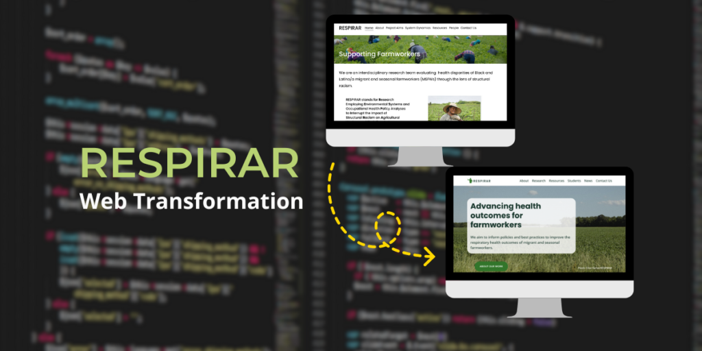
Revamping the RESPIRAR Project’s website involved unifying interdisciplinary messaging, balancing existing content with updates, and creating an engaging platform to effectively communicate the project’s mission and values.
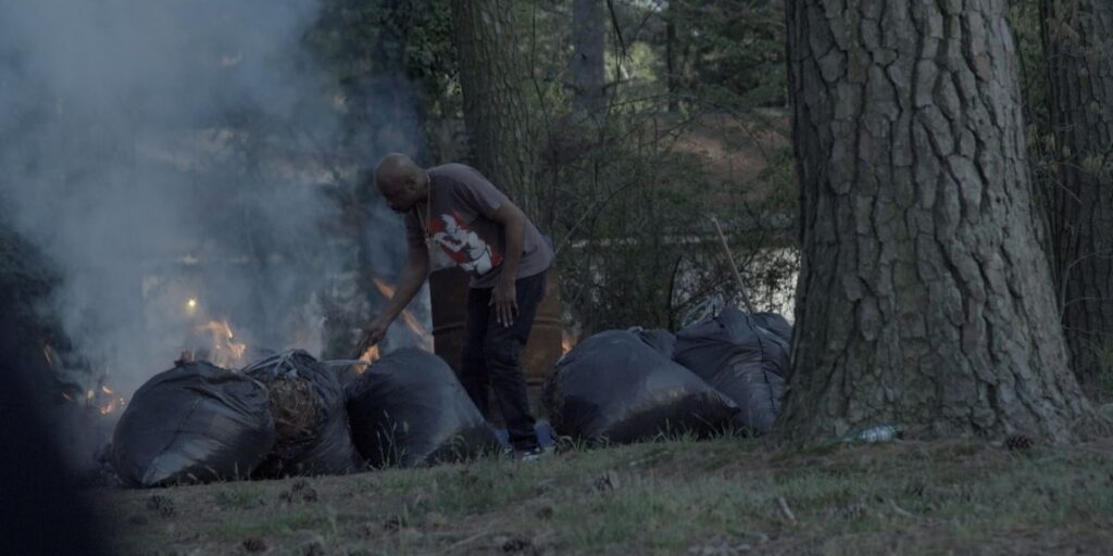
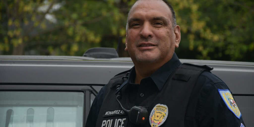
Read moreFrom local police to private guards | photo gallery
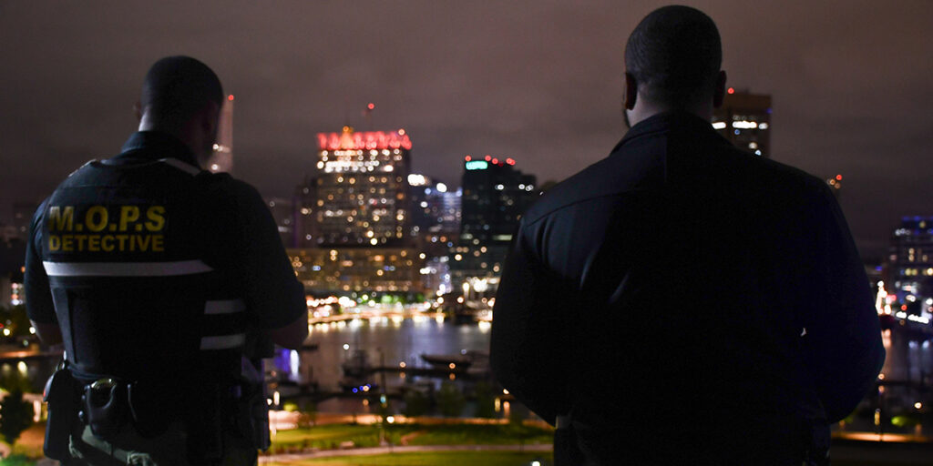
While reporting on this series, I also had the opportunity to visually document our work.
Read moreData visualizations for news story covering Maryland police trends
I led a data analysis for ‘From local police to private guards,’ an investigative series published in the Baltimore Banner. My work included analyzing FBI crime data to reveal a nearly 10% drop in Maryland law enforcement personnel from 2019 to 2023 and designing an interactive map showing personnel trends by county.
Read moreSupporting the Launch of a Brand
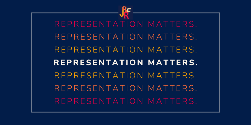
I designed social media graphics and wrote copy supporting the Jane Bancroft Robinson Foundation’s brand launch.
Read more