Mapping Maryland’s Eastern Shore for the RESPIRAR Project
*Data and analysis are based on preliminary research and should not be used for publication.
A case study on Maryland's Eastern Shore
A critical component of the RESPIRAR Project is its focused research on Maryland's Eastern Shore. To support this work, I produced maps that contextualize the geographic location for a broader audience.
These maps were customized based on their intended use, whether for the web or as part of slide decks presented at various conferences.
Map Design
Tools used:
- Maps: QGIS and Datawrapper
- Map design: Illustrator to enhance maps and add text
Before and after digital maps
A “before and after” comparison of one map of the Eastern Shore illustrates the transformation from the initial draft to a polished, professional-quality visual. The map was designed to complement the web copy.
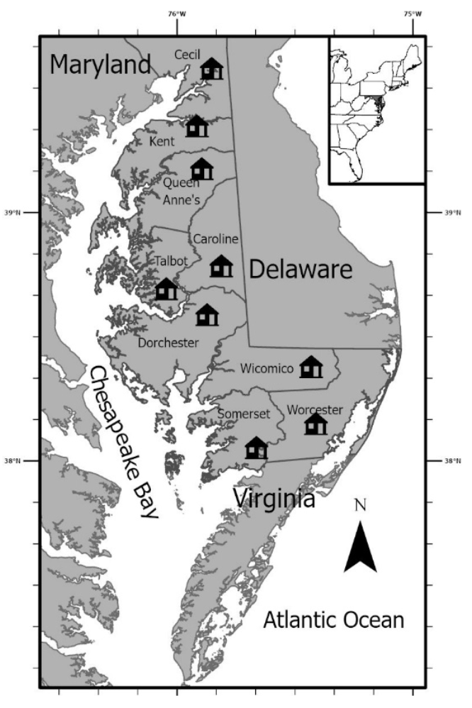
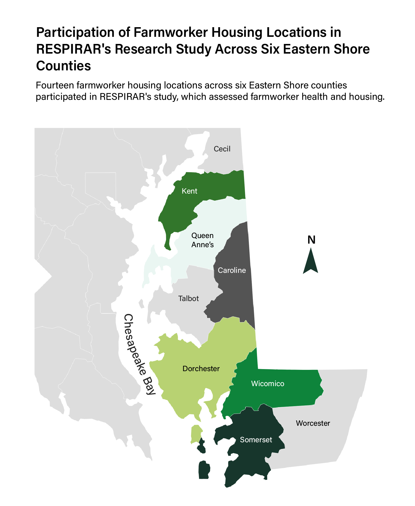
Participating farmworker housing locations by county
*Precise housing locations are not being publically disclosed for confidentiality purposes
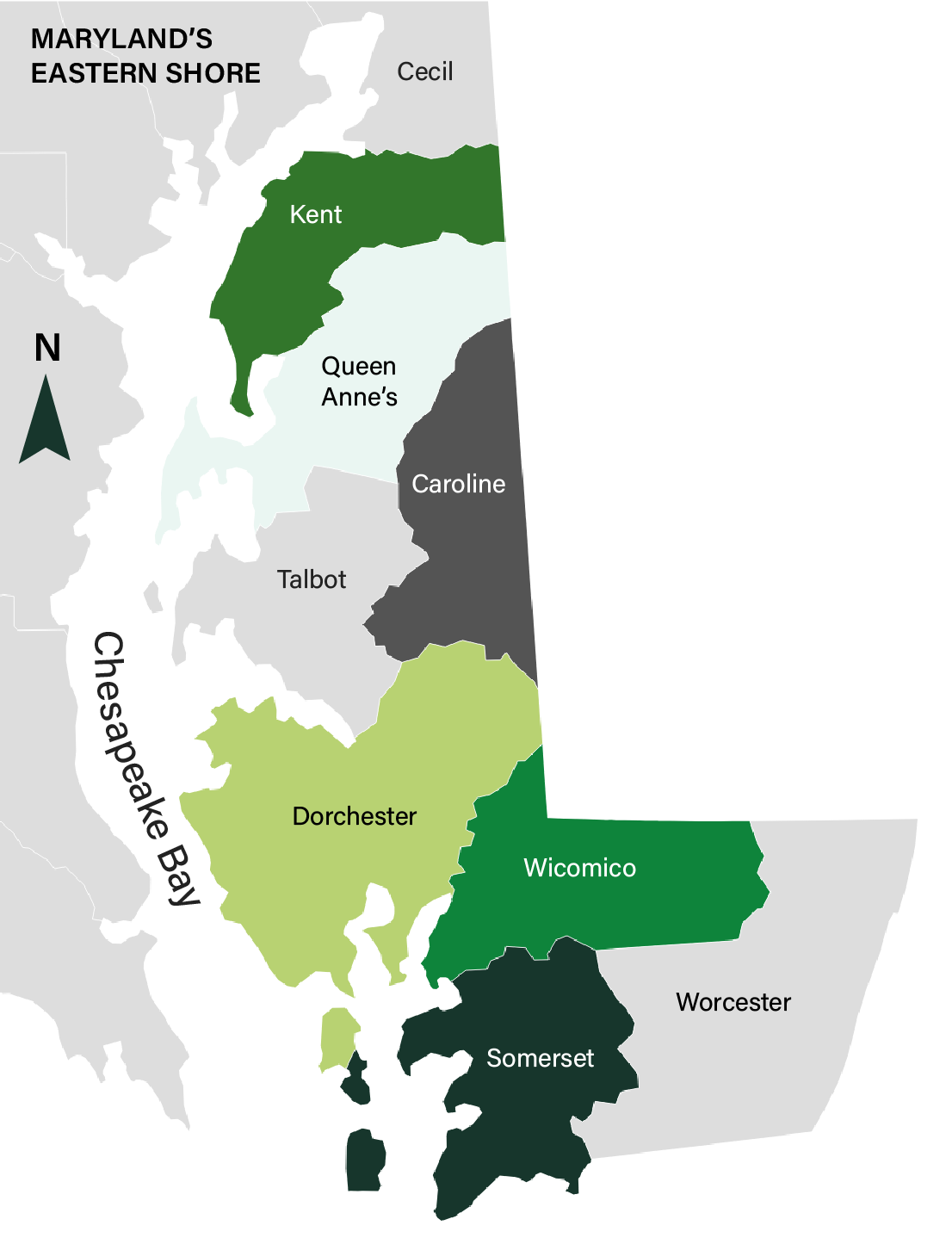
Maps for presentations
These maps effectively communicate the project’s geographic scope to stakeholders and collaborators.
Participating farmworker housing locations by county
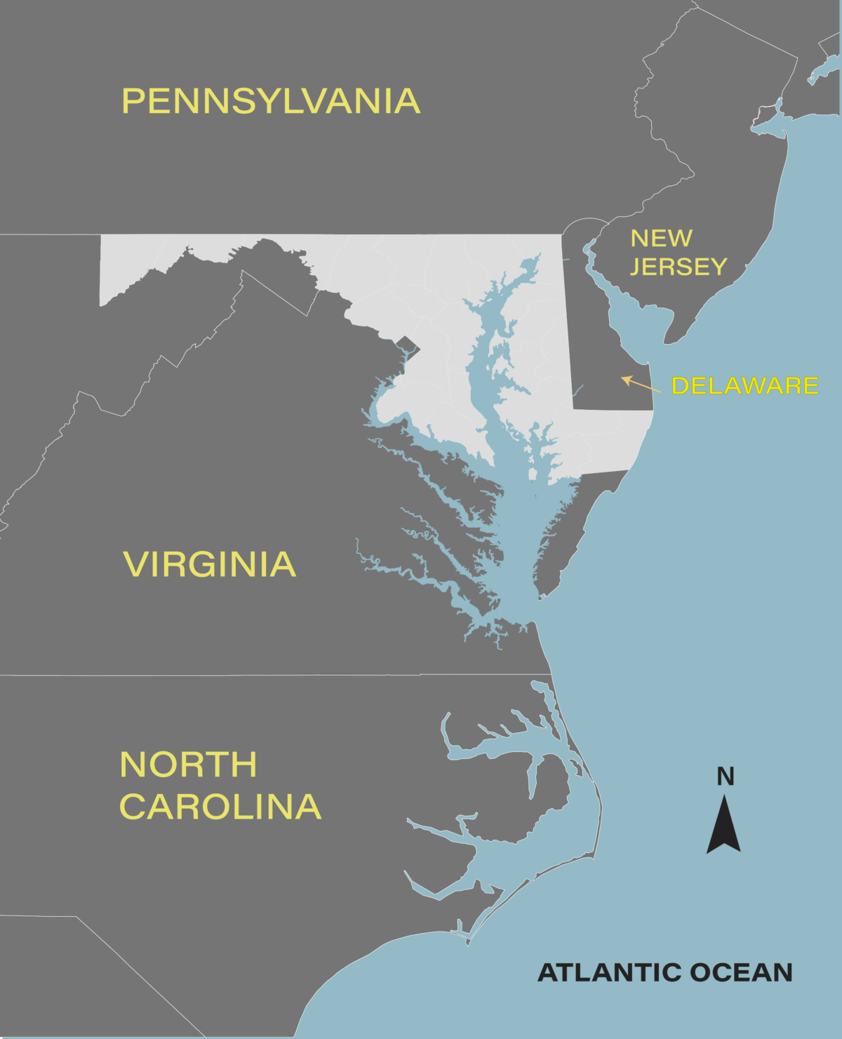
Placing the Eastern Shore in context
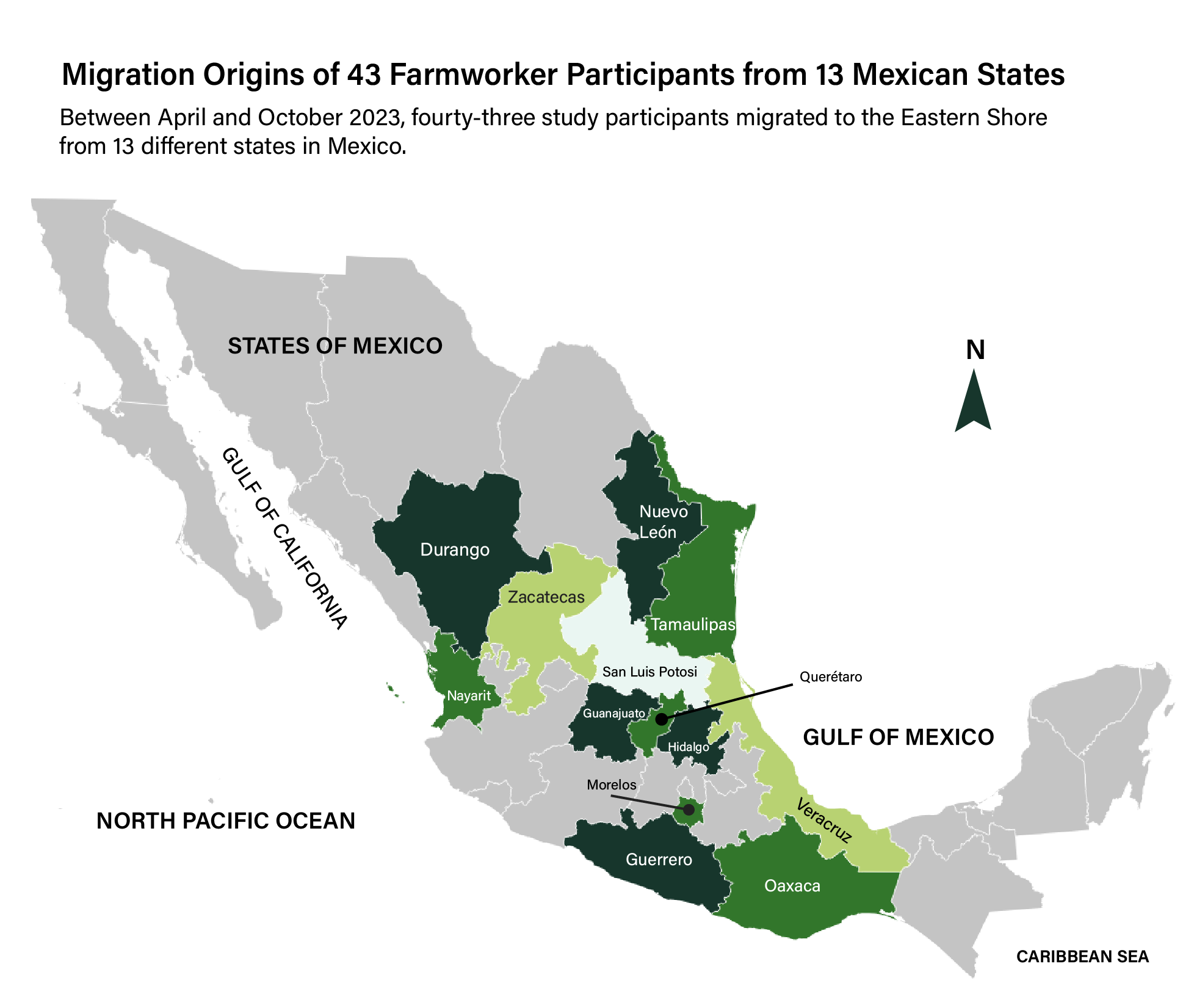
Farmworker migration origins from Mexico
