maps
A map geek’s quest to clean the nation, one watershed at a time

In this feature profile, I interview Jon Merryman, who is on a mission to clean up litter in every county across the United States.
Read moreMapping Maryland’s Eastern Shore for the RESPIRAR Project
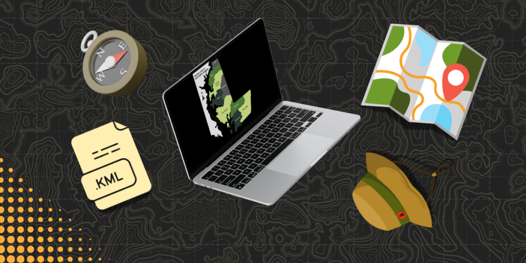
As part of the RESPIRAR Project, I design maps tailored for web use and conference presentations, employing tools like QGIS, Datawrapper, Flourish and Illustrator.
Read moreData visualizations for news story covering Maryland police trends

I led a data analysis for ‘From local police to private guards,’ an investigative series published in the Baltimore Banner. My work included analyzing FBI crime data to reveal a nearly 10% drop in Maryland law enforcement personnel from 2019 to 2023 and designing an interactive map showing personnel trends by county.
Read moreFrom vision to reality: designing a map to context-set a Smithsonian exhibit
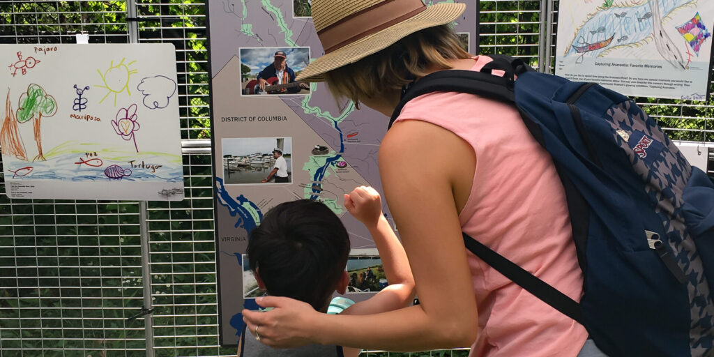
I loved creating this map as part of Smithsonian Anacostia Community Museum’s traveling exhibit Capturing Anacostia. Using tools like ArcGIS and Illustrator, I designed a visually engaging map that resonated with visitors and was later incorporated into the museum’s evergreen outdoor exhibit.
Read more